

It’s kick-off for Kilimo project and carbon-conscious farming in Kenya
In January the FieldSim® app, which assists farmers in agroecological decisions has been deployed for the first time in the Vihiga county, Kenya. FieldSim is a mobile application developed by the company eTumba. It integrates indicators generated by the ITK Cropwin model with the aim to help farmers manage their crop. These indicators simulate the effects of farming practices on crop growth and development, as well as on soil carbon storage.
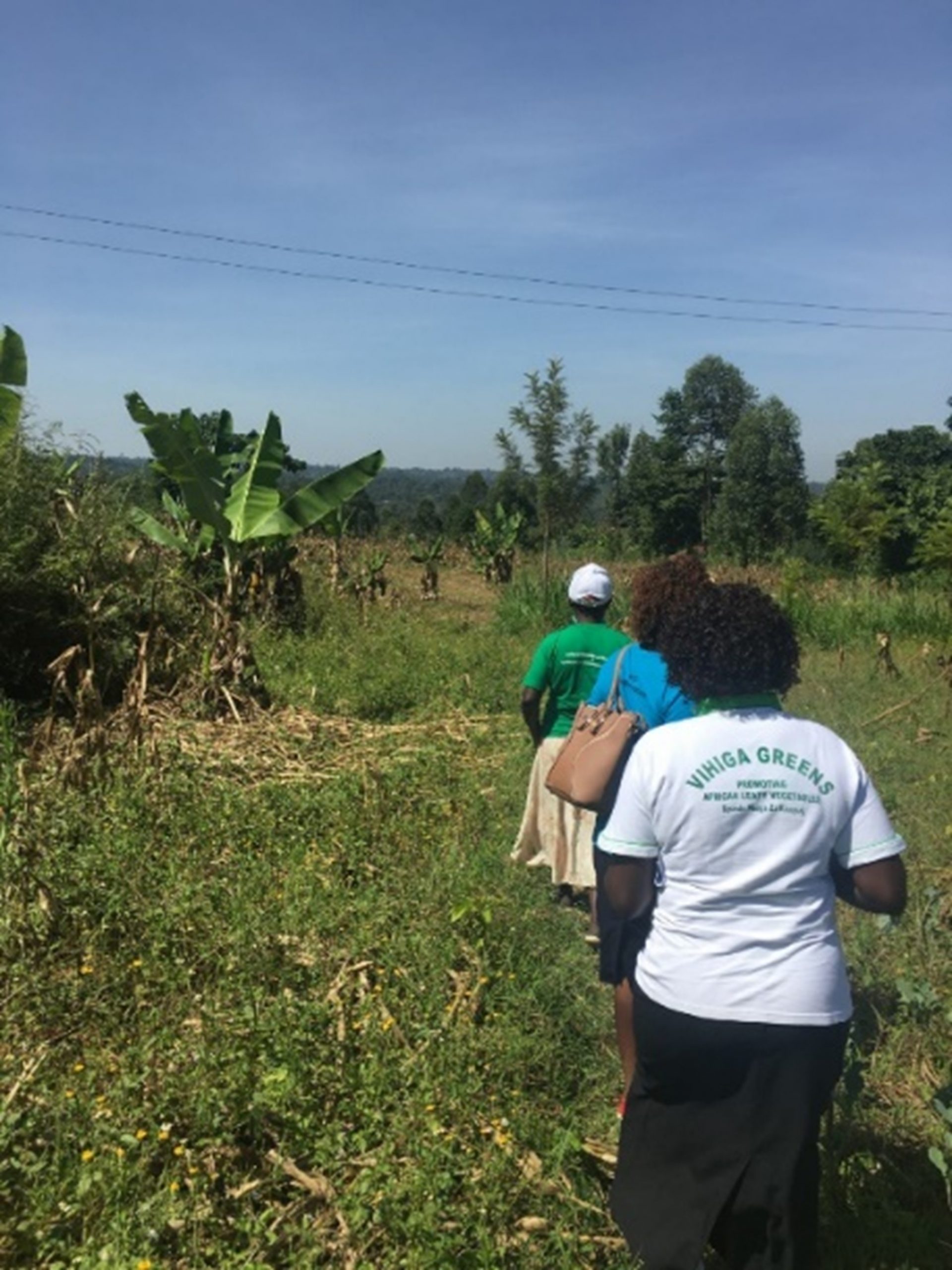
Throughout this first census campaign, more than 300 farmers were closely followed by county Extension Officers via the application. Personalized advice sent by sms to growers aim at:
Boosting maize yields thus ensuring food autonomy for Kenyan small-holder farmers
Agronomic models provide field-scale recommendations. These recommendations will be sent to farmers via messages to increase their skills and secure future harvests. Additional earnings may allow to buy certified seeds and adapted fertilizers.
Improving soil health
Optimization of farming practices and nitrogen input contribute to protect the soil from erosion and nutriments run-off. Crops growing in a healthy soil are expected to better cope with extreme weather events.
Increase carbon sequestration
By simulating the quantity of delta carbon newly stored in the soil during the cropping season, the application will help farmers to adapt their farming practices to maximize carbon storage. High levels of soil organic matter increase soil structure, hence resilience and productivity. The KILIMO project therefore contributes to reduce greenhouse gas emissions and to stop climate change
James Matika, Extension Officer for the Emuhaya sub-county (Vihiga, Kenya)
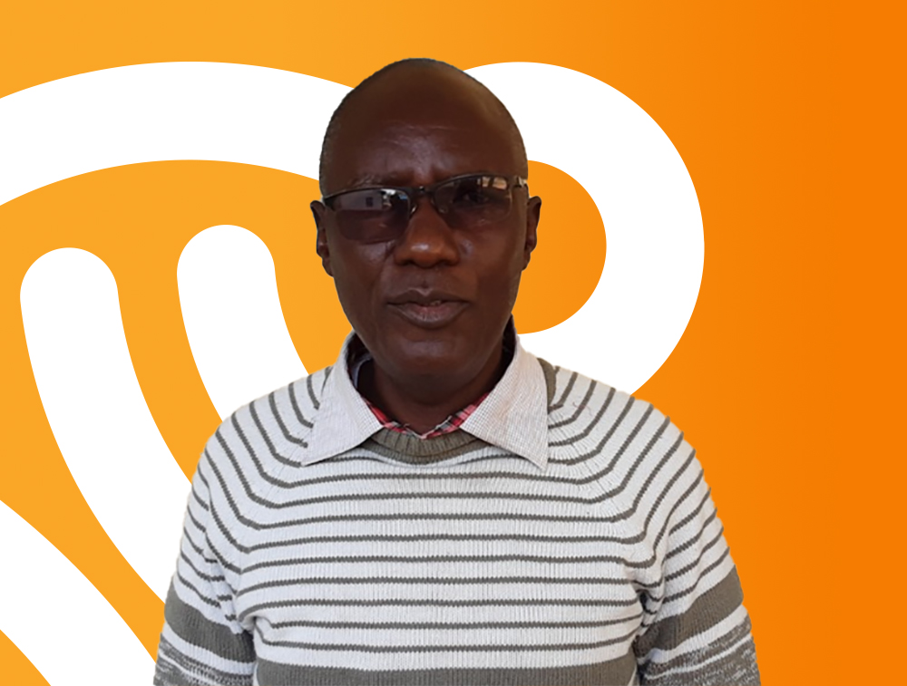
As extension officers, James Matika and his counterparts have been working for the county department of Agriculture to transfer and exchange any relevant agricultural information, knowledge, innovations, or skills to the farming communities to optimize their production. “We used to build cropping calendars to collect information on sowing and harvesting periods across the county to provide recommendation for farmers, but this was taking too much time”, says James Matika.
Collecting the information and reaching farmers in time is actually one of the biggest issues faced by the extension officers of the Vihiga county. Digitalisation of farmer information will save time. “The app will help us to reach more farmers and to set up individualised crop planning more efficiently”.
« For the first time, farmers will know the surface of their land. »
Early this year, James Matika and ten extension officers “put their boots on” to visit farmers. With the FieldSim® app set on their tablet, they were able to register more than 300 farmers within only three days. They collected general information, such as name and gender, and more importantly a phone number. “This will greatly facilitate communication” says James Matika. “We usually follow about 1,000 farmers over the growing season.” The app has been designed to assist extension officers in sending automatic farming practice recommendations via text or audio messages.
« It will be easier to reach farmers and to provide them with in-season recommendations at the right time. »
Towards a more productive and sustainable agriculture
By activating the GPS signal and walking around maize fields with their tablets, extension officers were able to record plot delineation directly in the app. “For the first time, farmers will know the surface of their land. This will allow them to adjust the amount of nitrogen fertilizer they really need”. This is a big shift in thinking. At last, farmers and extension officers will be able to adjust the amount of fertilizer by thinking in terms of kilograms per acres rather than just kilograms. This is a first step towards input optimization and environmental conservation.
The FieldSim® app also provides a 5-days weather forecast. “As rain comes from the West, there can be few weeks difference in sowing dates between eastern and western wards. With access to weather forecast by location, I will be able to provide personalized advice such as ideal sowing or harvest windows”.
James Matika is also planning to run specific training for group leaders to spread favourable farming practices for productivity while preserving soil health. “Thanks to the cartography and geolocation from the FieldSim® app, we will be able to find farmer clusters and identify a group leader for each location”. By training a small subset of farmers willing to change their farming practices, James Matika is hoping that the new methods will be widely spread in no time.
It is definitely a great kick-off for project Kilimo, which will help not only small farmers to improve their yields but also contribute to global environmental health through adequate farming practices.